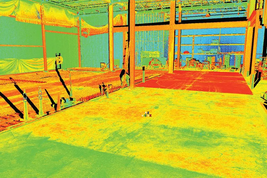
3D Scanning
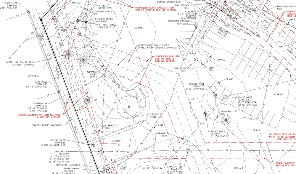
ALTA Survey
Topographic Survey
Construction Staking
Platting
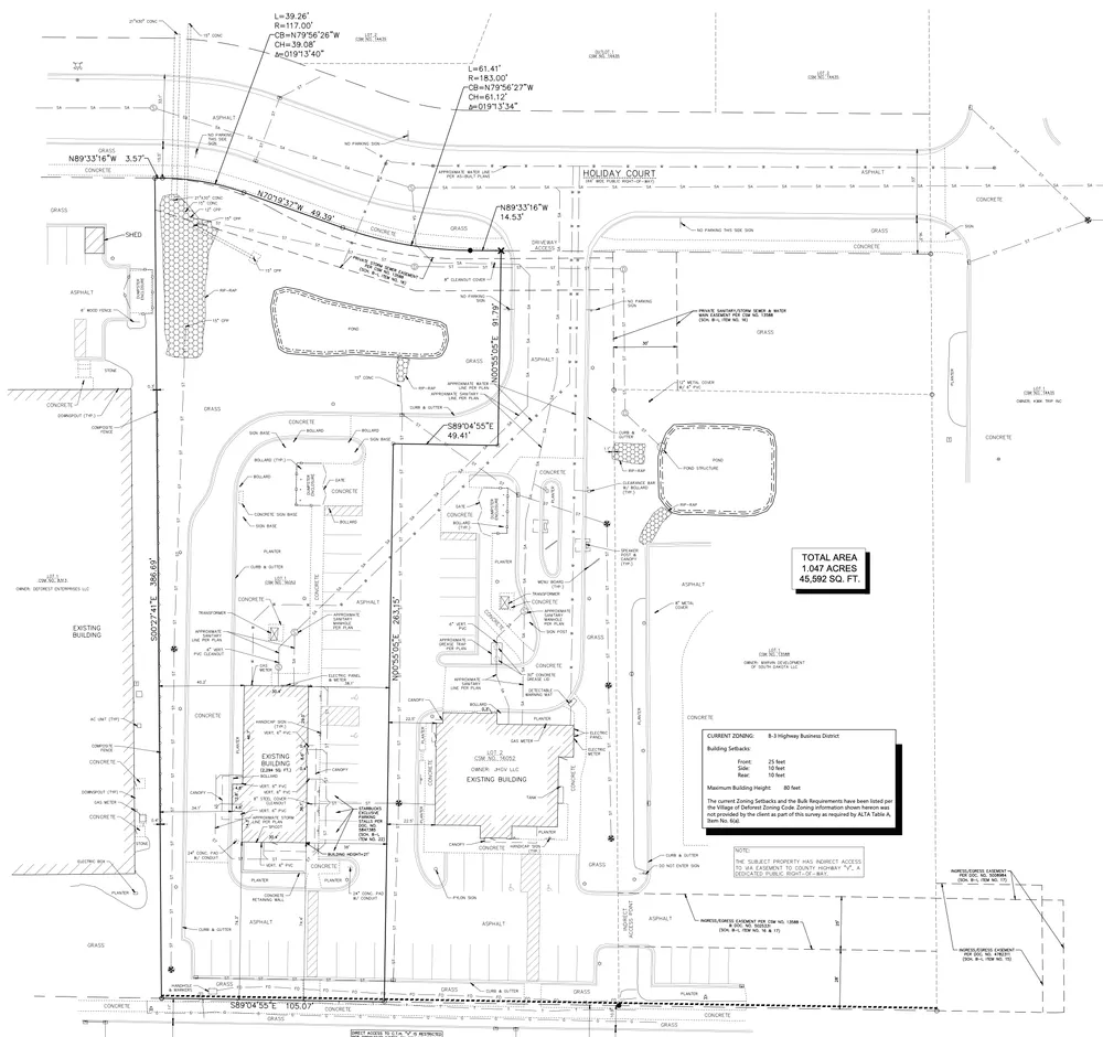
Every year Excel completes over 75 ALTA surveys. An ALTA survey is a detailed boundary survey depicting all items that may impact the ownership of the property. An ALTA survey is used as a tool by companies when issuing title insurance, as it exposes encroachments and encumbrances to the property.
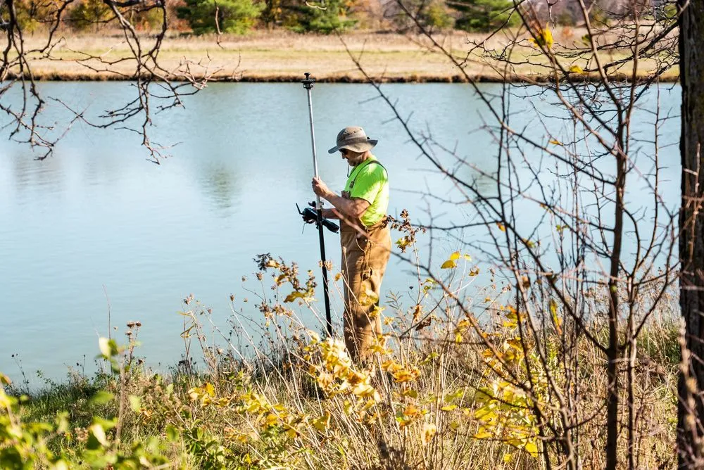
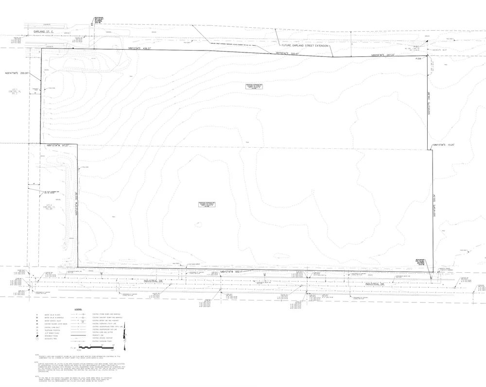
A quality topographic/existing conditions survey base map is an essential part of the design process. Our existing conditions survey includes property lines, easement locations, utilities, contours, building locations, locations of all visible improvements, floodplain, mapped wetlands, and trees.
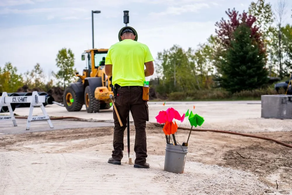
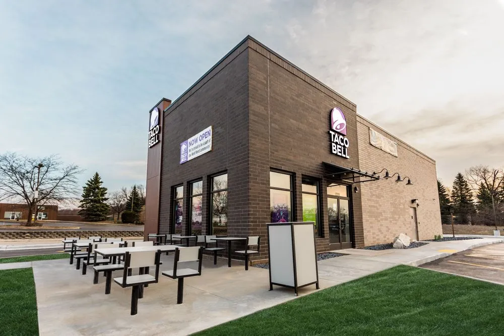
During construction, Excel’s survey crew lays out horizontal and vertical locations of items shown on the approved plans. Typical stakeout items can include building corners, light poles, curbs, asphalt, sidewalks, storm sewers, sanitary sewers, and water mains.

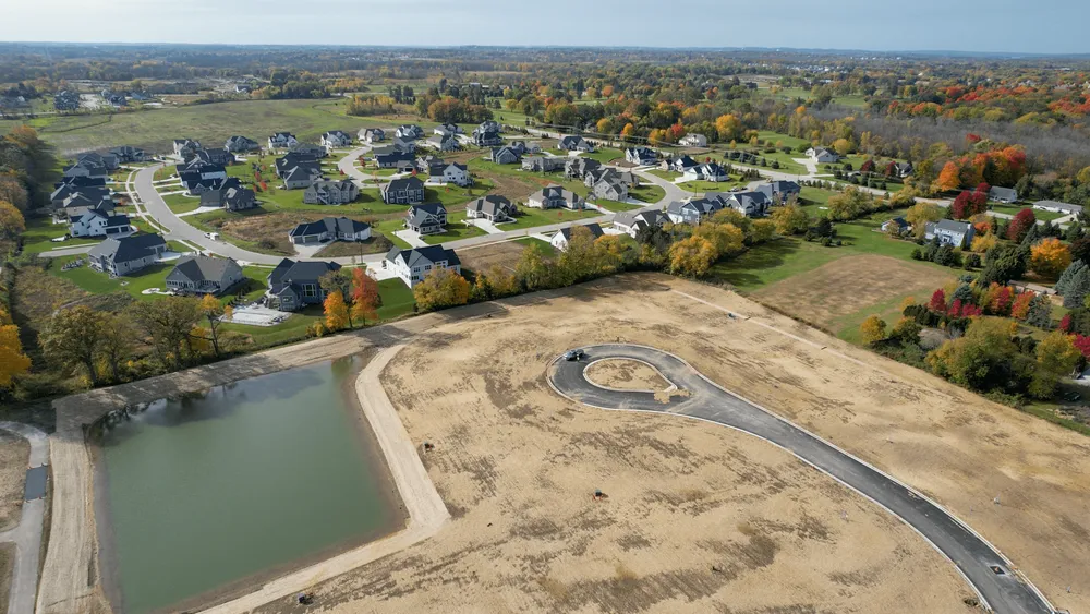
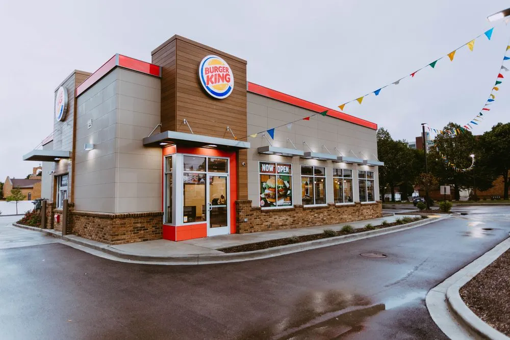
Our team completed numerous land divisions ranging from the creation of a single parcel to the creation of 100-lot residential developments. With this experience, we can help eliminate mid-project revisions and costly delays.
